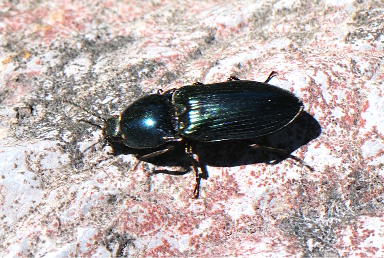
Verbreitung im Land-Salzburg zobodat-1748362: AUT, Salzburg, Saalfelden, 12.84° östl. L., 47.42° nördl. Br., 760.0 m Seehöhe zobodat-1748365: AUT, Salzburg, Nassfeld b. Gastein, 13.06° östl. L., 47.04° nördl. Br., 560.0 m Seehöhe zobodat-1748370: AUT, Salzburg, Kolm-Saigurn (Rauristal), 12.98° östl. L., 47.06° nördl. Br., 1600.0 m Seehöhe zobodat-1748373: AUT, Salzburg, Ferleiten (Fuschertal), 12.81° östl. L., 47.16° nördl. Br., 1150.0 m Seehöhe zobodat-1748374: AUT, Salzburg, Ferleiten (Fuschertal), 12.81° östl. L., 47.16° nördl. Br., 1150.0 m Seehöhe zobodat-1748375: AUT, Salzburg, Ferleiten (Fuschertal), 12.81° östl. L., 47.16° nördl. Br., 1150.0 m Seehöhe zobodat-1748376: AUT, Salzburg, Ferleiten (Fuschertal), 12.81° östl. L., 47.16° nördl. Br., 1150.0 m Seehöhe zobodat-1748377: AUT, Salzburg, Schafberg (Salzburg), 13.43° östl. L., 47.77° nördl. Br., 635.0 m Seehöhe zobodat-1748382: AUT, Salzburg, Gaisberg b. Salzburg, 13.11° östl. L., 47.80° nördl. Br. zobodat-1748383: AUT, Salzburg, Gaisberg b. Salzburg, 13.11° östl. L., 47.80° nördl. Br. zobodat-1748385: AUT, Salzburg, Bodenhaus b. Rauris, 12.99° östl. L., 47.10° nördl. Br., 1230.0 m Seehöhe zobodat-1748387: AUT, Salzburg, Parsch b. Salzburg, 13.08° östl. L., 47.80° nördl. Br., 427.0 m Seehöhe zobodat-1748388: AUT, Salzburg, Seewaldsee b. Golling, 13.27° östl. L., 47.62° nördl. Br., 431.0 m Seehöhe zobodat-1748390: AUT, Salzburg, Gamskarkogel b. Gastein, 13.13° östl. L., 47.13° nördl. Br., 860.0 m Seehöhe zobodat-1748394: AUT, Salzburg, Felbertal b. Mittersill, 12.48° östl. L., 47.26° nördl. Br. zobodat-1748401: AUT, Salzburg, Schneiderau (Stubachtal), 12.60° östl. L., 47.20° nördl. Br., 1160.0 m Seehöhe zobodat-1748403: AUT, Salzburg, Untertauern, 13.50° östl. L., 47.30° nördl. Br., 436.0 m Seehöhe zobodat-1748410: AUT, Salzburg, Gurpitscheck b. Tweng, 13.61° östl. L., 47.21° nördl. Br., 2100.0 m Seehöhe zobodat-1748414: AUT, Salzburg, Käfertal (Fuschertal), 12.77° östl. L., 47.11° nördl. Br., 1600.0 m Seehöhe zobodat-1748415: AUT, Salzburg, Kesselfall (Kaprunertal), 12.72° östl. L., 47.21° nördl. Br., 1025.0 m Seehöhe zobodat-1748416: AUT, Salzburg, Mühlstein SO Glasenbach, 13.12° östl. L., 47.75° nördl. Br., 1053.0 m Seehöhe zobodat-1748417: AUT, Salzburg, Neggerndorf W Tamsweg, 13.76° östl. L., 47.11° nördl. Br., 1025.0 m Seehöhe zobodat-1748418: AUT, Salzburg, Osterhorn, 13.36° östl. L., 47.67° nördl. Br., 1749.0 m Seehöhe zobodat-1748420: AUT, Salzburg, Suissensee (Schafberg), 13.43° östl. L., 47.77° nördl. Br., 1432.0 m Seehöhe zobodat-1748539: AUT, Salzburg, Rauriser Tauernhaus, 12.87° östl. L., 47.12° nördl. Br., 1527.0 m Seehöhe zobodat-1748540: AUT, Salzburg, Wasserfallboden (Kaprunertal), 12.72° östl. L., 47.18° nördl. Br., 1685.0 m Seehöhe zobodat-1748541: AUT, Salzburg, Grieswiesalm (Rauristal), 12.98° östl. L., 47.08° nördl. Br., 1550.0 m Seehöhe zobodat-1748542: AUT, Salzburg, Gollehen-Alm (Seidlwinkeltal), 12.09° östl. L., 47.17° nördl. Br., 1290.0 m Seehöhe zobodat-1748543: AUT, Salzburg, Schwarzbergalpe b. Elsbethen, 13.08° östl. L., 47.75° nördl. Br. MG0074-Z59329: AT, Steiermark, Schladming, Obertal, Neualm, 13.69° östl. L., 47.25° nördl. Br., 1610.0 m Seehöhe MG0074-Z100258: AT, Salzburg, Groß Gmain, Untersbergwald, 12.93° östl. L., 47.70° nördl. Br., 1000.0 m Seehöhe


