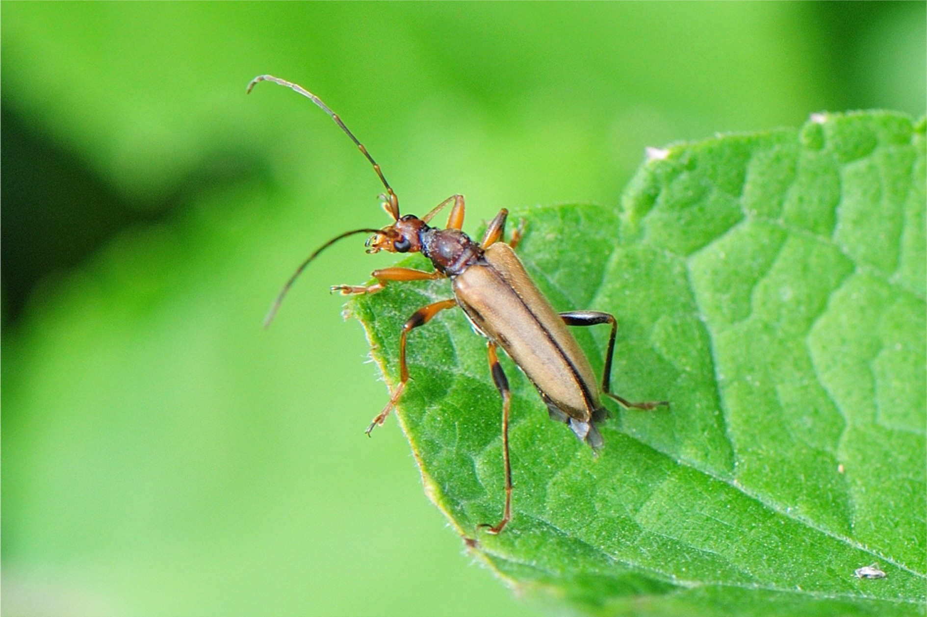
Verbreitung im Land-Salzburg MB0052-97: Austria, Salzburg, Strobl Umgebung, 13.48° östl. L., 47.71° nördl. Br. MB0052-98: Austria, Salzburg, St. Gilgen, Schafberg, 13.43° östl. L., 47.77° nördl. Br., 1741.0 m Seehöhe MB0052-99: Austria, Salzburg, Tennengau, Blientau, 13.17° östl. L., 47.50° nördl. Br. MB0052-100: Austria, Salzburg, Saalfelden, Stoissen, 12.82° östl. L., 47.47° nördl. Br., 700.0 m Seehöhe MB0052-101: Austria, Salzburg, Hagengebirge, Biederer Alpswald, 13.10° östl. L., 47.51° nördl. Br. MB0052-102: Austria, Salzburg, Hallein, Tauglwald, 13.10° östl. L., 47.68° nördl. Br. MB0052-104: Austria, Osttirol. Kals, Dorfertal, 12.33° östl. L., 47.03° nördl. Br. zobodat-1810422: AUT, Salzburg, Bad Gastein, 13.13° östl. L., 47.11° nördl. Br., 1066.0 m Seehöhe zobodat-1810424: AUT, Salzburg, Ferleiten (Fuschertal), 12.81° östl. L., 47.16° nördl. Br., 1150.0 m Seehöhe zobodat-1810429: AUT, Salzburg, Maishofen, 12.80° östl. L., 47.36° nördl. Br. zobodat-1810430: AUT, Salzburg, Parsch b. Salzburg, 13.08° östl. L., 47.80° nördl. Br., 427.0 m Seehöhe zobodat-1810433: AUT, Salzburg, Anthering, 13.01° östl. L., 47.88° nördl. Br., 422.0 m Seehöhe zobodat-1810437: AUT, Salzburg, Elsbethen, 13.08° östl. L., 47.75° nördl. Br., 430.0 m Seehöhe zobodat-1810438: AUT, Salzburg, Fuschertal, 12.83° östl. L., 47.02° nördl. Br. zobodat-1810439: AUT, Salzburg, Hellbrunn, 13.06° östl. L., 47.76° nördl. Br., 431.0 m Seehöhe zobodat-1810440: AUT, Salzburg, Hellbrunn, 13.06° östl. L., 47.76° nördl. Br., 431.0 m Seehöhe zobodat-1810441: AUT, Salzburg, Klessheim b. Salzburg, 12.99° östl. L., 47.82° nördl. Br., 429.0 m Seehöhe zobodat-1810442: AUT, Salzburg, Klessheim b. Salzburg, 12.99° östl. L., 47.82° nördl. Br., 429.0 m Seehöhe zobodat-1810443: AUT, Salzburg, Koppl, 13.15° östl. L., 47.80° nördl. Br., 753.0 m Seehöhe zobodat-1810444: AUT, Salzburg, Koppl, 13.15° östl. L., 47.80° nördl. Br., 753.0 m Seehöhe zobodat-1810447: AUT, Salzburg, Puch b. Hallein, 13.08° östl. L., 47.71° nördl. Br., 413.0 m Seehöhe zobodat-1810449: AUT, Salzburg, Schneiderau (Stubachtal), 12.60° östl. L., 47.20° nördl. Br., 1160.0 m Seehöhe zobodat-1810450: AUT, Salzburg, Untertauern, 13.50° östl. L., 47.30° nördl. Br., 436.0 m Seehöhe zobodat-1810451: AUT, Salzburg, Untersberg, 12.98° östl. L., 47.71° nördl. Br., 436.0 m Seehöhe zobodat-1810452: AUT, Salzburg, Zistelalm (Gaisberg), 13.11° östl. L., 47.79° nördl. Br., 981.0 m Seehöhe zobodat-1810456: AUT, Salzburg, Dorferoed (Stubachtal), 12.58° östl. L., 47.17° nördl. Br., 1300.0 m Seehöhe zobodat-1810457: AUT, Salzburg, Glasenbachklamm, 13.01° östl. L., 47.76° nördl. Br., 500.0 m Seehöhe zobodat-1810458: AUT, Salzburg, Glasenbachklamm, 13.01° östl. L., 47.76° nördl. Br., 500.0 m Seehöhe zobodat-1810459: AUT, Salzburg, Glasenbachklamm, 13.01° östl. L., 47.76° nördl. Br., 500.0 m Seehöhe zobodat-1810460: AUT, Salzburg, Glasenbachklamm, 13.01° östl. L., 47.76° nördl. Br., 500.0 m Seehöhe zobodat-1810461: AUT, Salzburg, Kesselfall (Kaprunertal), 12.72° östl. L., 47.21° nördl. Br., 1025.0 m Seehöhe zobodat-1810545: AUT, Salzburg, Salzburg-Josefiau, 13.07° östl. L., 47.78° nördl. Br., 430.0 m Seehöhe zobodat-1810546: AUT, Salzburg, Salzburg-Josefiau, 13.07° östl. L., 47.78° nördl. Br., 430.0 m Seehöhe zobodat-1810548: AUT, Salzburg, Leitenhaus O Abtenau, 13.40° östl. L., 47.55° nördl. Br., 800.0 m Seehöhe MG0074-Z30764: AT, Salzburg, Unken, Steinbachtal, 12.74° östl. L., 47.67° nördl. Br., 600.0 m Seehöhe MG0074-Z30765: D, Bayern, Weitseen-Lödensee, 12.59° östl. L., 47.69° nördl. Br., 780.0 m Seehöhe MG0074-Z30766: AT, Salzburg, Salzburg Stadt, Gaisbergrundwanderweg, 13.10° östl. L., 47.79° nördl. Br., 1000.0 m Seehöhe MG0074-Z30767: AT, Oberösterreich, Weißenbach, Weißenbachtal Ost, 13.63° östl. L., 47.76° nördl. Br., 540.0 m Seehöhe MG0074-Z30769: AT, Oberösterreich, Weißenbach, Weißenbachtal Mitte, 13.60° östl. L., 47.77° nördl. Br., 550.0 m Seehöhe MG0074-Z32317: AT, Salzburg, Grödig, Steinerweg, 13.03° östl. L., 47.73° nördl. Br., 430.0 m Seehöhe MG0074-Z32318: AT, Salzburg, Großgmain, Freilichtmuseum, 12.94° östl. L., 47.75° nördl. Br., 430.0 m Seehöhe GH00164-Z62196: AT, Sbg, Pinzgau, Saalfelden süd, Gruber, unterh. Buschhalde ost, 735m - Z3, 12.82° östl. L., 47.40° nördl. Br., 735.0 m Seehöhe GH00164-Z62277: AT, Sbg, Pinzgau, Saalfelden nord, Stoißen, Eingang Buchweißbachgraben, 740 m - Z2, 12.83° östl. L., 47.46° nördl. Br., 725.0 m Seehöhe


