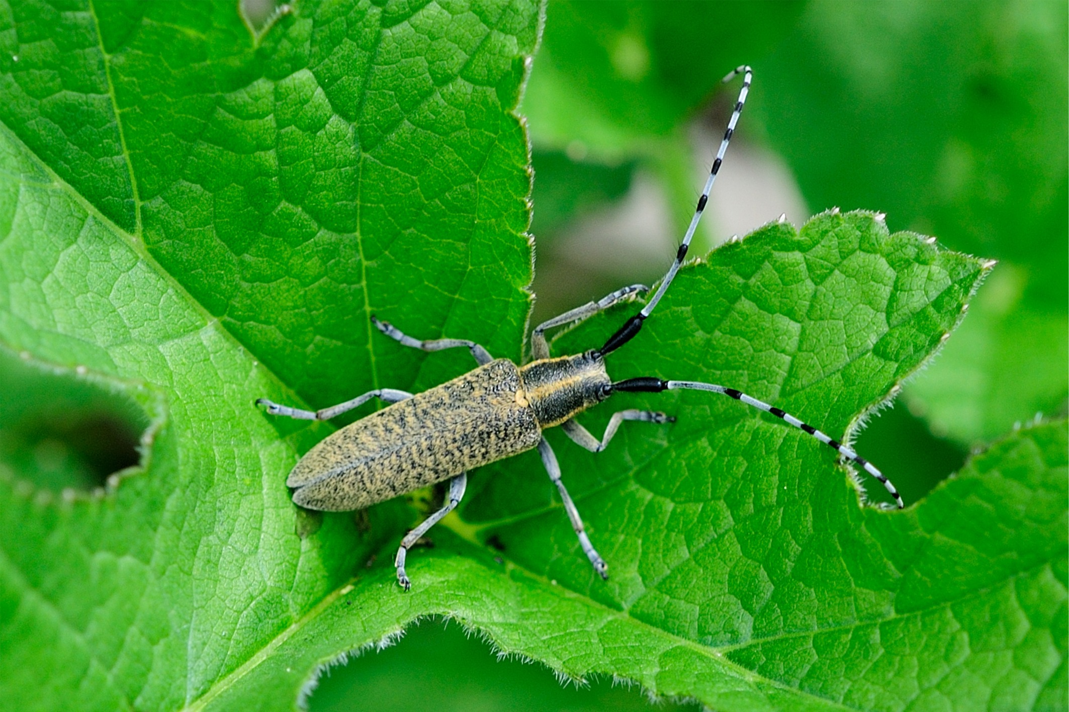
Verbreitung im Land-Salzburg zobodat-1821046: AUT, Salzburg, Eichet S Salzburg, 13.03° östl. L., 47.75° nördl. Br., 435.0 m Seehöhe zobodat-1821047: AUT, Salzburg, Eichet S Salzburg, 13.03° östl. L., 47.75° nördl. Br., 435.0 m Seehöhe MG0074-Z28932: AT, Salzburg, Unken, Steinbachtal, 12.74° östl. L., 47.67° nördl. Br., 600.0 m Seehöhe MG0074-Z28934: AT, Salzburg, Unken, Steinbachtal, 12.74° östl. L., 47.67° nördl. Br., 600.0 m Seehöhe MG0074-Z28936: AT, Salzburg, Weitenau bei Golling, 13.25° östl. L., 47.60° nördl. Br., 800.0 m Seehöhe MG0074-Z50425: AT, Oberösterreich, Bad Ischl, Rettenbachalm, 13.71° östl. L., 47.68° nördl. Br., 650.0 m Seehöhe MG0074-Z59201: AT, Salzburg, Nußdorf, Weitwörth, Salzachau, 12.95° östl. L., 47.90° nördl. Br., 400.0 m Seehöhe GH00164-Z61961: Salzburg, Saalfelden, Euring, am Bachl, 12.82° östl. L., 47.45° nördl. Br., 730.0 m Seehöhe GH00164-Z62007: Salzburg, Saalfelden ost, Dillingbrücke, Taxau-Rain, 760m, 12.85° östl. L., 47.41° nördl. Br., 760.0 m Seehöhe GH00164-Z65459: AT, Sbg, Pinzgau, Saalfelden nordwest, Euring, Friedlbrunn - Z2, 12.82° östl. L., 47.45° nördl. Br., 710.0 m Seehöhe GH00164-Z81004: Salzburg, Saalfelden, west, Huggenberg, unterh. GH, 1080-1150m, 12.80° östl. L., 47.42° nördl. Br., 1100.0 m Seehöhe GH00164-Z89681: AT, Sbg, Pinzgau, Saalfelden süd, Gruber, Licht Stallwand ost, 740m - Z3, 12.82° östl. L., 47.40° nördl. Br., 740.0 m Seehöhe GH00164-Z97995: AT, Sbg, Pinzgau, Saalfelden nordwest, Euring, Friedlbrunn - Z2, 12.82° östl. L., 47.45° nördl. Br., 710.0 m Seehöhe MG0074-Z100274: AT, Salzburg, Groß Gmain, Untersbergwald, 12.93° östl. L., 47.70° nördl. Br., 1000.0 m Seehöhe MB0052-652: Austria, Salzburg, Strobl, Weißenbach, 13.49° östl. L., 47.70° nördl. Br. MB0052-653: Austria, Salzburg, Strobl, Rinnkogel, 13.48° östl. L., 47.66° nördl. Br., 1710.0 m Seehöhe MB0052-654: Austria, Salzburg, St. Georgen, Roding: (Breite: 48° 0.412, Länge: 12° 54.437, Höhe: 449 m), 12.90° östl. L., 48.00° nördl. Br., 449.0 m Seehöhe zobodat-1820941: AUT, Salzburg, Kasern b. Salzburg, 13.12° östl. L., 47.83° nördl. Br., 435.0 m Seehöhe zobodat-1820942: AUT, Salzburg, Kasern b. Salzburg, 13.12° östl. L., 47.83° nördl. Br., 435.0 m Seehöhe zobodat-1820943: AUT, Salzburg, Saalfelden, 12.84° östl. L., 47.42° nördl. Br., 760.0 m Seehöhe zobodat-1820946: AUT, Salzburg, Bluntautal, 13.13° östl. L., 47.57° nördl. Br., 550.0 m Seehöhe zobodat-1820948: AUT, Salzburg, Bergheim b. Salzburg, 13.02° östl. L., 47.84° nördl. Br., 441.0 m Seehöhe zobodat-1820949: AUT, Salzburg, Parsch b. Salzburg, 13.08° östl. L., 47.80° nördl. Br., 427.0 m Seehöhe zobodat-1820950: AUT, Salzburg, Parsch b. Salzburg, 13.08° östl. L., 47.80° nördl. Br., 427.0 m Seehöhe zobodat-1820951: AUT, Salzburg, Parsch b. Salzburg, 13.08° östl. L., 47.80° nördl. Br., 427.0 m Seehöhe zobodat-1820952: AUT, Salzburg, Seewaldsee b. Golling, 13.27° östl. L., 47.62° nördl. Br., 431.0 m Seehöhe zobodat-1820953: AUT, Salzburg, Fürstenbrunn, 12.99° östl. L., 47.74° nördl. Br., 448.0 m Seehöhe zobodat-1820958: AUT, Salzburg, Mattsee, 13.10° östl. L., 47.97° nördl. Br., 503.0 m Seehöhe zobodat-1820959: AUT, Salzburg, Anif, 13.06° östl. L., 47.74° nördl. Br., 440.0 m Seehöhe zobodat-1820962: AUT, Salzburg, Gnigl, 13.07° östl. L., 47.81° nördl. Br., 440.0 m Seehöhe zobodat-1820964: AUT, Salzburg, Puch b. Hallein, 13.08° östl. L., 47.71° nördl. Br., 413.0 m Seehöhe zobodat-1820971: AUT, Salzburg, Wartberg b. Grossgmain, 12.95° östl. L., 47.76° nördl. Br., 530.0 m Seehöhe zobodat-1820974: AUT, Salzburg, Weitwörth, Antheringerau, 12.96° östl. L., 47.92° nördl. Br., 397.5 m Seehöhe zobodat-1820976: AUT, Salzburg, Glasenbach S Salzburg, 13.09° östl. L., 47.76° nördl. Br., 435.0 m Seehöhe zobodat-1820977: AUT, Salzburg, Glasenbachklamm, 13.01° östl. L., 47.76° nördl. Br., 500.0 m Seehöhe zobodat-1820978: AUT, Salzburg, Hüttau O Bischofshofen, 13.30° östl. L., 47.41° nördl. Br., 700.0 m Seehöhe zobodat-1821044: AUT, Salzburg, Salzburg-Josefiau, 13.07° östl. L., 47.78° nördl. Br., 430.0 m Seehöhe zobodat-1821045: AUT, Salzburg, Salzburg-Josefiau, 13.07° östl. L., 47.78° nördl. Br., 430.0 m Seehöhe


